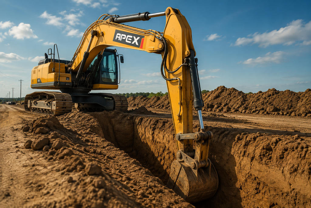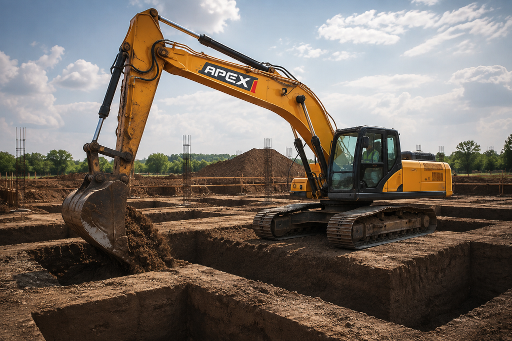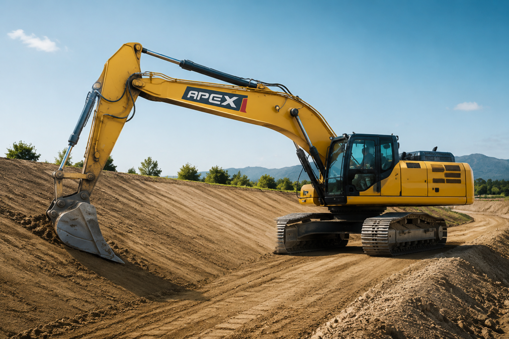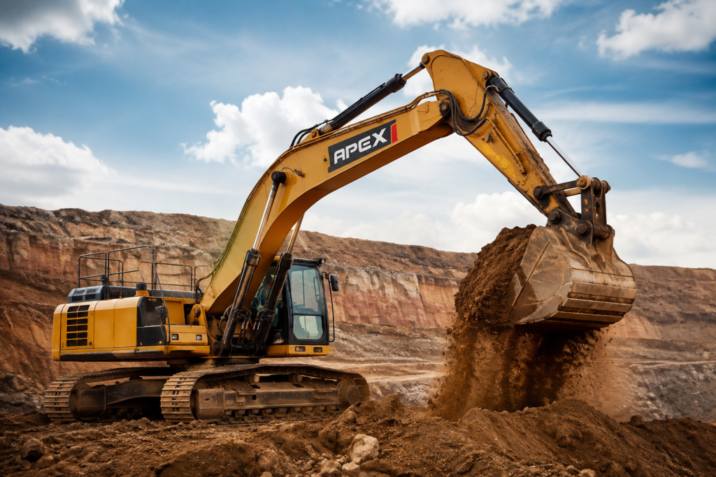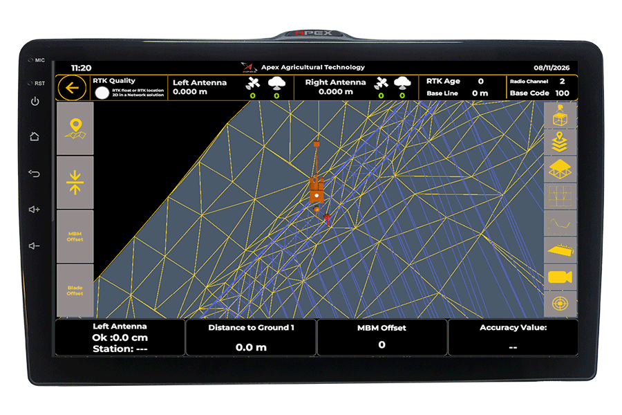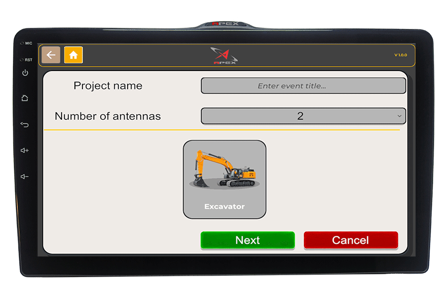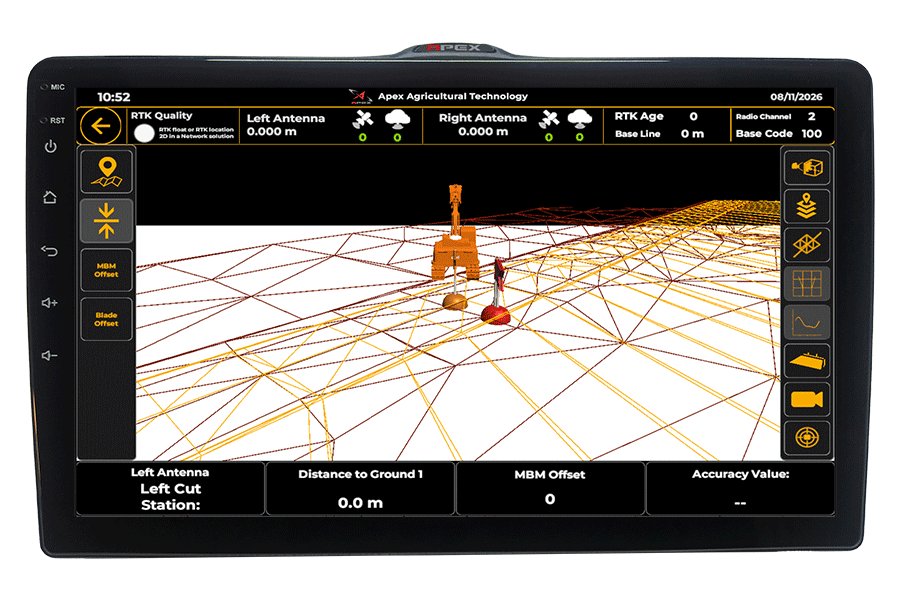
See the exact bucket position, depth, slope and Cut/Fill information directly inside the cab—without constant surveying or repeated measurements.
Real-time bucket positioning shows you exactly where you are relative to the design.
Follow the digital design accurately to reduce over-excavation, unnecessary backfilling, material waste and costly rework.
Real-time excavator guidance helps the operator work closer to the target grade with fewer survey checks and less site interruption.
Monitor bucket position, digging depth, elevation and slope in real time—even on complex profiles and changing jobsite conditions.
Improve operator efficiency, shorten excavation cycles and help complete earthmoving projects on schedule and within budget.
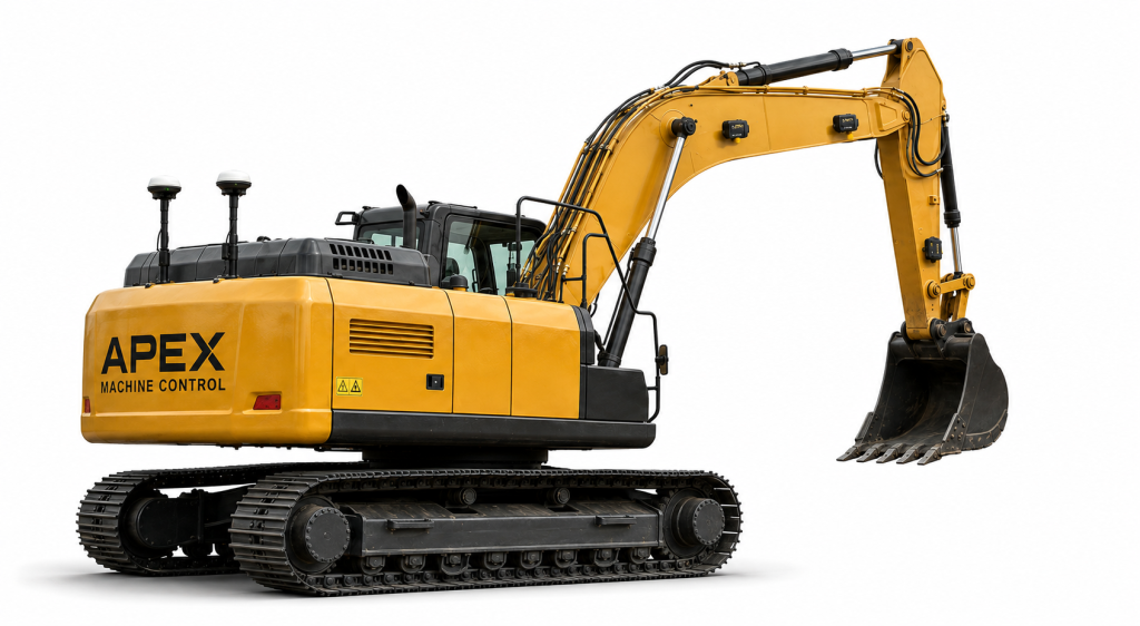
Dual GNSS antennas determine the excavator’s position and heading.
IMU sensors track the movement and orientation of each excavator component.
Dual GNSS antennas determine the excavator’s location and heading, while IMU sensors track the movement of the boom, arm and bucket.
The control unit combines GNSS and sensor data to continuously calculate the exact three-dimensional position of the bucket tip.
The calculated bucket position is compared with the uploaded project model, and clear visual indicators show the operator where to dig or stop.
Compatible with a wide range of excavators.
Our team handles installation and system calibration.
On-site or virtual training to get your team up and running.
Frequent survey checks
Fewer survey checks
Higher rework and overdig
Accurate results
Inconsistent depth and slope
To design
Slower Production
More work per shift
Everything the operator needs, clearly displayed in the cab.
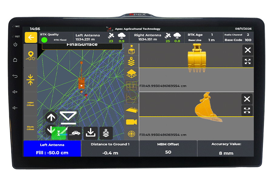
Monitor the bucket position, excavation depth and live cut/fill values for precise real-time guidance.
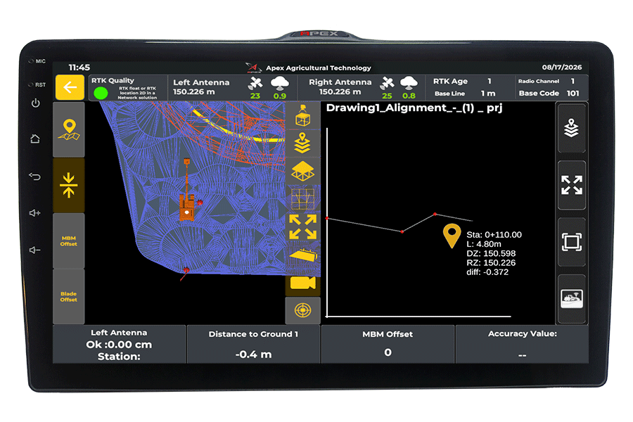
View elevation changes along the working direction and compare the actual surface with the project design.
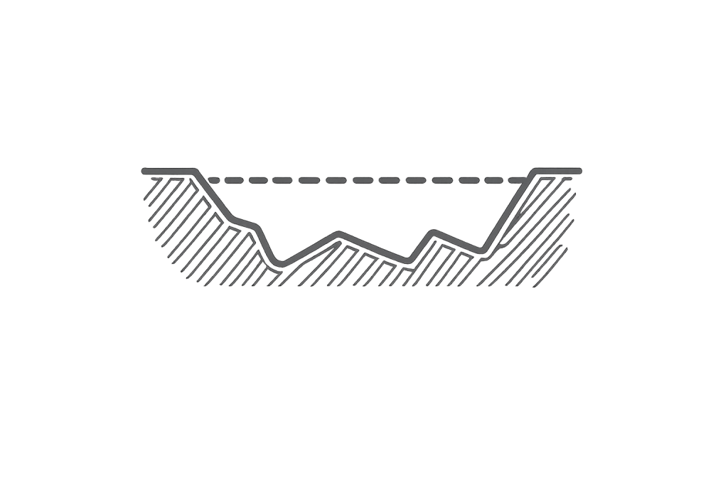
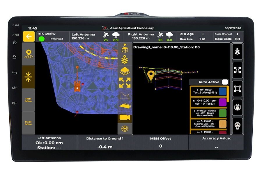
Check excavation depth, target elevation and side slopes through a clear cross-sectional display.
View the machine position, project boundaries and design surface within one complete project display.
Access essential information through a clear, intuitive interface designed for fast and simple operation.
See the estimated financial impact on your project.
Estimate based on the information entered above.
Everything you need to know about APEX Excavator Machine Control.
The APEX Excavator Machine Control System provides real-time guidance to help operators follow the required depth, slope and design directly from the cab. It reduces the need for repeated manual grade checks and helps improve excavation accuracy and productivity.
APEX is designed to work with a wide range of excavator brands and models. Our team reviews your machine model and configuration before installation to confirm compatibility and the required components.
The operator can see the bucket position, target depth, cut and fill information, slope guidance and design-related information in real time, helping them work closer to the required grade.
The achievable accuracy depends on the GNSS correction source, machine calibration, site conditions and system configuration. Correct installation and calibration are essential for obtaining reliable machine guidance results.
Not necessarily. The system can operate with compatible GNSS correction methods depending on the project setup. An internet connection may be required when NTRIP corrections or online services are used.
Yes. The system can be used with supported digital project and design data, allowing the operator to work according to the required excavation surface, depth and slope directly from the in-cab display.
Real-time machine guidance gives the operator continuous information about the bucket and target surface. This helps reduce overdig, underdig, repeated grade checks and unnecessary rework during excavation.
Installation and calibration support is available. The system must be correctly installed and calibrated for the excavator geometry and sensors before operation to provide reliable guidance.
Yes. Operator training can be provided to help your team understand the display, guidance information, project setup and normal operating workflow so they can start using the system effectively.
Send us your excavator brand, model, country and contact information. Our team will review your machine and project requirements and recommend the appropriate APEX configuration.